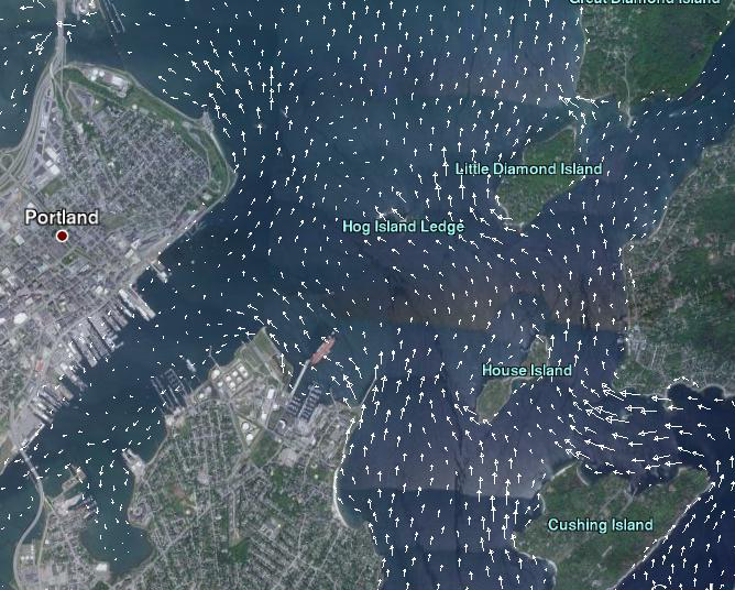
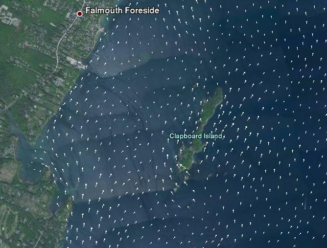
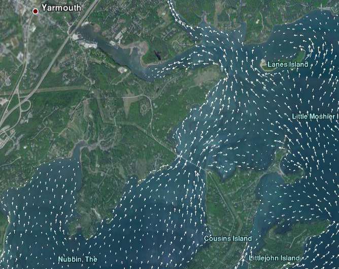
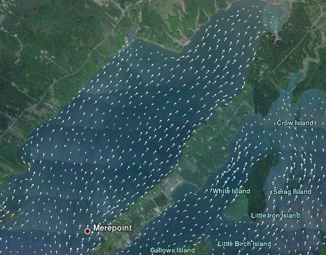
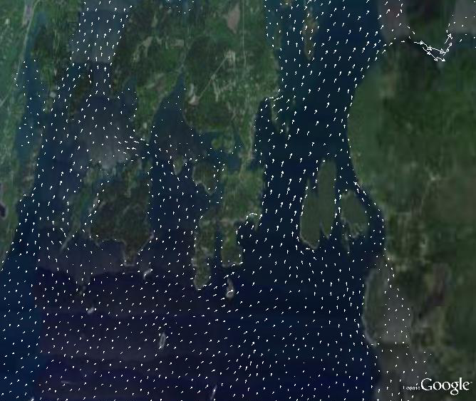
The images on the left panel are thumbnails of googleearth kmz video files. The videos show the surface currents for various locations within Casco Bay for May 13, 2018. Currents are forced by tides, winds, temperature and salinity.
*** A Note on Using Google Earth***
GoogleEarth needs to be installed on your computer. The GoogleEarth files are large. To overlay an image in googleearth, click on an image in the left panel to download the kmz video file to your computer. Then double-click on the file and GoogleEarth will load and fly to Casco Bay. Be patient..it may take a moment to launch.
On GoogleEarth, the animation slider in the upper left corner may need to be modified. Be sure the 2 tabs on the slider are locked together, or you may get multiple images. Click on the wrench icon to set the animation speed to slower, and select Loop animation.